 UFO
The ground
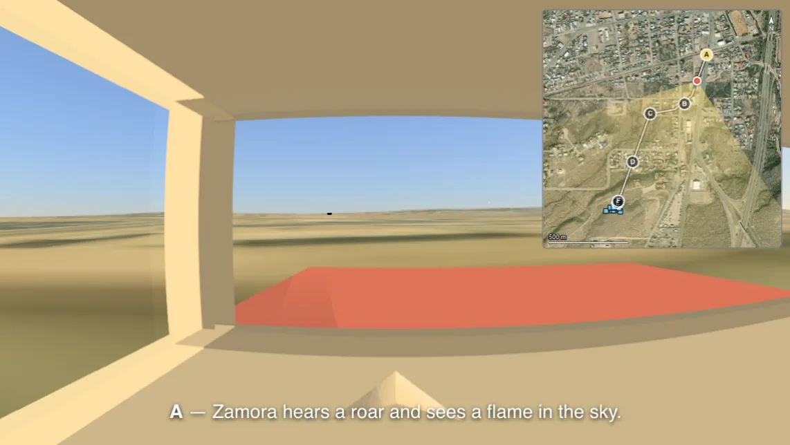
Real relief and aerial imagery are fetched around the observer, along with the decor that got in the way: buildings, trees, streetlights, vehicles, windows and other observers — with their lights, their flash rates and their tracks.
How high the observer stood is looked up from where they stood. The ground under those coordinates comes from a real elevation model, so the altitude on the form is a height above sea level whose floor is the ground itself: nobody can be placed under it. And it is not a detail — at 1500 m the horizon really is 1.2° lower than it is at sea level, which is enough to decide whether something was above it.
Every source is named where its data is reported, with the attribution its licence requires — and can be swapped for another. The picker is the credit. What is still missing, and what each item is waiting on, is on the roadmap.